Of:
Matilda Aprea Malmqvist
Published: Less than 2 hours ago
NEWS
Arctic cold tightens its grip on Sweden and offers sub-zero temperatures in almost the entire country.
At the same time, snow is expected to move in during the week and settle from north to south.
- The culmination of the cold appears to be around Lucia, says Mikael Luhr, meteorologist at Klart.se.
After a period of milder weather, cold air moves in on Tuesday and it will be below zero in almost the entire country.
Tuesday also offers sunshine, interspersed with clouds, over large parts of the country. There may be light snow showers in southern Götaland and in northern Norrland.
- The average temperature for the next one to two weeks is expected to be 3-6 degrees below normal in large parts, says Mikael Luhr, meteorologist at Klart.se.
It is the arctic ice that tightens its grip on Sweden.
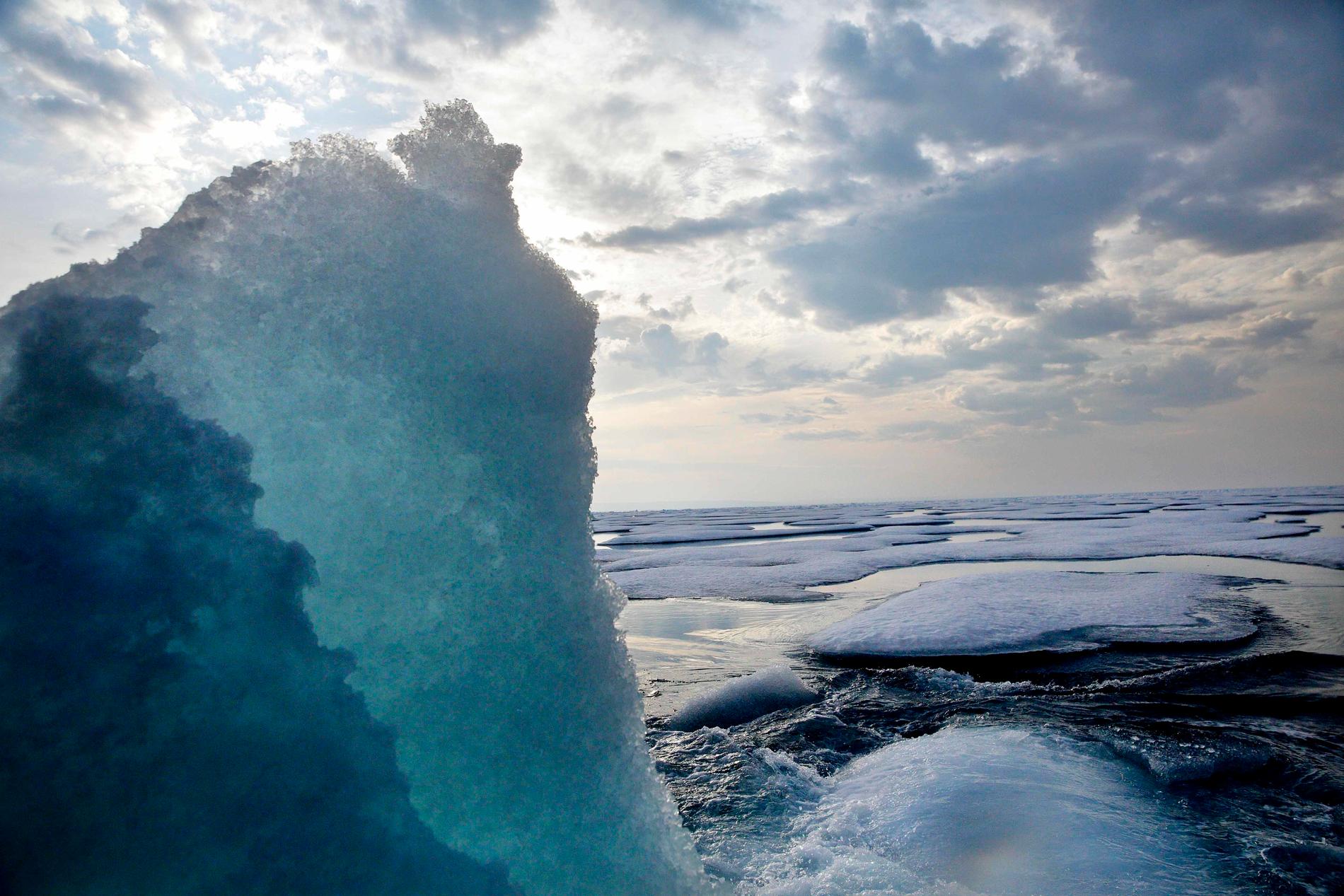
- The reason is a high pressure in Greenland which will remain in the same place for at least one or two weeks. The fact that it remains for so long means that cold air from the Arctic is forced down over Europe and in Sweden. The culmination of the cold seems to be around Lucia in Sweden. The cold from the Arctic arrives in Sweden and it is expected to be really cold in Lucia. The picture from the Northwest Passage.

The cold from the Arctic arrives in Sweden and it is expected to be really cold in Lucia. The picture from the Northwest Passage. Photo: AP
Pulls in during the week
During Wednesday and Thursday, the cold dominates.
- It can also be a lot of sun but cold. In Götaland around 0–6 minus, in Svealand and in Norrland 3–12 minus.
In the main, the snowfall is expected to move in at the end of the week and settle from north to south.
- On Thursday, areas of snow will reach over large parts of Norrland from the Gulf of Bothnia and the Bothnian Sea, and there may be 5-10 cm of snow at the same time as 5-15 minus degrees. Most snow seems to fall in Norrbotten. In Svealand and Götaland, it is mostly cloudy with local snow showers.
On Friday, the snow moves into northern Götaland and northern Svealand.
"Can cause problems"
- It is currently uncertain how large amounts of snow this is, but it could probably be about 5-10 centimeters of snow and in some areas more. It can cause problems if the snow falls in a short time, says Mikael Luhr.
During the weekend, a light snowfall is expected over Norrland. In the south, varied cloudiness is expected and 0 degrees on the coasts in the far south to minus 10 above Dalarna.
- Easterly to north-easterly winds bring in a lot of clouds and continued mostly minus temperatures in the country during Sunday. There may be some snow showers in the Baltic Sea landscape, but the intensity is difficult to assess.
Down to minus 15
During the coming week, both the cold and the snowfall may increase, above all in the Baltic Sea landscapes and along the Norrland coast.
Behind the low pressure, it is then expected to crack open and then it can get really cold, says Mikael Luhr.
Temperatures may drop to minus 5-15 in Götaland, eastern Svealand and western Svealand and in Norrland it may be even colder.
- The winter cold has taken hold this week but it will probably be even colder around Lucia until the 4th of Advent.


Inga kommentarer:
Skicka en kommentar